FAQ - Amended Flood Hazard Mapping
The following questions and answers relate to amendments to the Mackay Region Planning Scheme 2017 flood hazard overlay mapping and letters received by affected property owners advising of these changes.
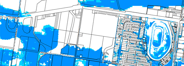
Q: I can’t see my property on the map that was mailed to me. Can I have a better map?
A: Please email strategic.planning@mackay.qld.gov.au and advise us of your address and we will send you a map of the changes that affect your property.
Q: How does the changed flood mapping under the planning scheme affect me?
A: Existing development will not be affected by the changes to Flood hazard overlay mapping. New development proposals may need to comply with the requirements of the Flood and coastal hazards overlay code, for example minimum floor levels.
Q: Will this amended flood mapping affect my insurance premium?
A: Flood risk is only one of the factors affecting home insurance premiums. Premiums also consider other risk factors such as building type, building age, security and vulnerability to other natural hazards such as cyclones, bushfire, storms, earthquakes etc.
Most insurance companies already use their own flood mapping to determine premiums relating to flood risk. These studies may not be to the same level of detail as Council studies as they do not have information as accurate as Council (eg survey levels) and are often undertaken regionally or state-wide. If they do not have flood information about a property, insurance premiums are likely to be high as the risk is unknown resulting in a high flood risk factored into the premium. Council has provided flood study data to insurers previously and generally there is an overall positive outcome for the community (majority of households receive a reduction or no change in premium due to flood risk).
Q: What if my property is already mapped under the existing Flood hazard overlay?
A: There is no change to the planning scheme requirements if you are already mapped under the overlay. We have included you in the mail-out because your property was mapped under the new flood study which considered different types of flooding to the previous study under which you were mapped. This means that different flood levels and minimum floor levels may apply to your property.
We also wished to alert you to any changes to the flood mapping in the area around your property as this may be useful for planning evacuation routes.
Q: What are council doing about the flooding?
A: The adopted flood studies detail potential mitigation options for locations identified as exposed to the greatest risk. Each of the potential mitigation options will be prioritised at a regional context against the objectives set out in the flood and stormwater management strategy which is available here. The flood studies can be viewed via the following links:
- The North Mackay Drainage Study (WRM 2019)
- The West Mackay Drainage Study (AECOM 2019)
- The Andergrove Beaconsfield Drainage Study (AECOM 2020)
If you have any questions that have not been answered above, please contact strategic.planning@mackay.qld.gov.au or 1300 MACKAY (622 529) and we will be happy to assist.