Storm smart strategy
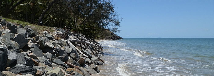
The Mackay Regional Council (Council) local government area encompasses approximately 7,300km2, including 320km of coastline across 24 beach communities. Within the Mackay region, it is impossible to separate coastal hazards from inland flood hazards. Mackay City’s position on the Pioneer River floodplain, the multiple major creeks and the coastal location result in an environment where coastal processes and flooding are directly related.
Council has been granted State Government funding, as part of QCoast2100 to develop a Coastal Hazard Adaptation Strategy (CHAS), comprising a series of studies across eight project phases, to improve the resilience of coastal regions and develop adaptation strategies for coastal hazards.
As climate change will have an impact on flood risk from coastal and inland mechanisms, and there is a large amount of overlap between the coastal and inland flood risk areas, Council has integrated the QCoast2100 CHAS with a strategy for managing inland flooding to deliver a holistic Coastal and Inland Flood Hazard Adaptation Strategy which has been titled the ‘Storm Smart Strategy’.
The process for developing the Storm Smart Strategy will follow the same phases as that for a CHAS as set out by the QCoast 2100 program and shown below.
